- Topographic analysis, mapping and modeling of the urban evolution -
The acknowledgment of the existence of the urban planning of Bracara Augusta was the subject to a first proposal for the urban design with road axis aligned N/NO-S/SE and quarters, with a square form (120 Roman feet wide).
Many issues require yet to be solved concerning the occupation of the periurban area, where buildings were settled with diverging directions of the orthogonal grid, having been embraced by the late Roman wall built in the late third century / beginning of the IV.
On the basis of the analysis of some domus evolution it was possible to realize an increasing tendency to construct over porticoes and street areas, process which was intensified in Low Empire and Late Antiquity.
This trend requires a chronological refining which will be achieved within the scope of Task 1, through the detailed study of the buildings evolution and the analysis of the way how they are adapted or ignore the foundational street infrastructure.
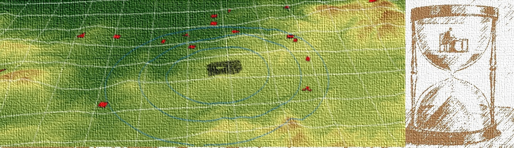
One important issue of this task is related to the analysis of landforms occupied by the Roman city, both in the High and in the Low Empire, since it was implanted over a hill. The adapting of the urban grid to the specificities of the micro topography needs to be reviewed in the context of a comprehensive morphological study of the site. It should also be undertaken a recovery of the highest points of the Roman and Late Antiquity cities supplied by the review of information from the archaeological areas already excavated (Task 1), aiming to proceed with the restitution of ancient town topography.
The implementation of this task requires an intense work of relationship of data provided by the cartographic analysis, the topographic mapping and the production of interpretative overviews of the urban landscape evolution.